Challenge
- Difficult to capture gains from road network improvements
- No bandwidth to dedicate resources to analyze haul route data
Objectives
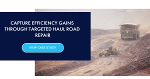
A world-leading copper producer knew that enhanced road maintenance could benefit overall profitability. They set out to provide road crews with the best technology to identify areas on the haul road that were contributing to excessive fuel consumption, increased emissions, and accelerated equipment wear.
Technology
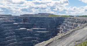
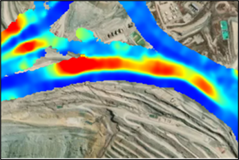
Cascadia Scientific’s SmartRView platform was selected because of its ability to combine high-accuracy fuel consumption data with measurements of road grade, vehicle speed, position, motion, and altitude. The visual representations of haul road networks would allow their crew to target corrective actions through heat mapping, in order to reduce fuel use, GHG emissions, and accelerated equipment wear. Cascadia Scientific continuously supports clients in identifying and correcting hot spots to maximize efficient and productive operation.
Implementation
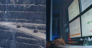
The technology began to collect robust haulage data to identify hot spots across the mine. Once corrective action was taken by mine road crews, pre- and post-analysis helped the site calculate the impacts of the change. During the first year of implementation, 4 hot spots were uncovered and corrected, resulting in direct cost savings of USD $1.4M with indirect benefits to equipment health and operator safety.
Results
- Direct Cost: $1.4M USD in savings through fuel reduction
- Indirect Cost: Benefits to equipment maintenance, Operator safety, Tire life
- Decreased C02 emissions by over 9000 tons
Before
After
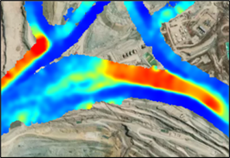
Before and after heat maps show improvement in the hot-spots that were causing unnecessary fuel usage and equipment wear.
